
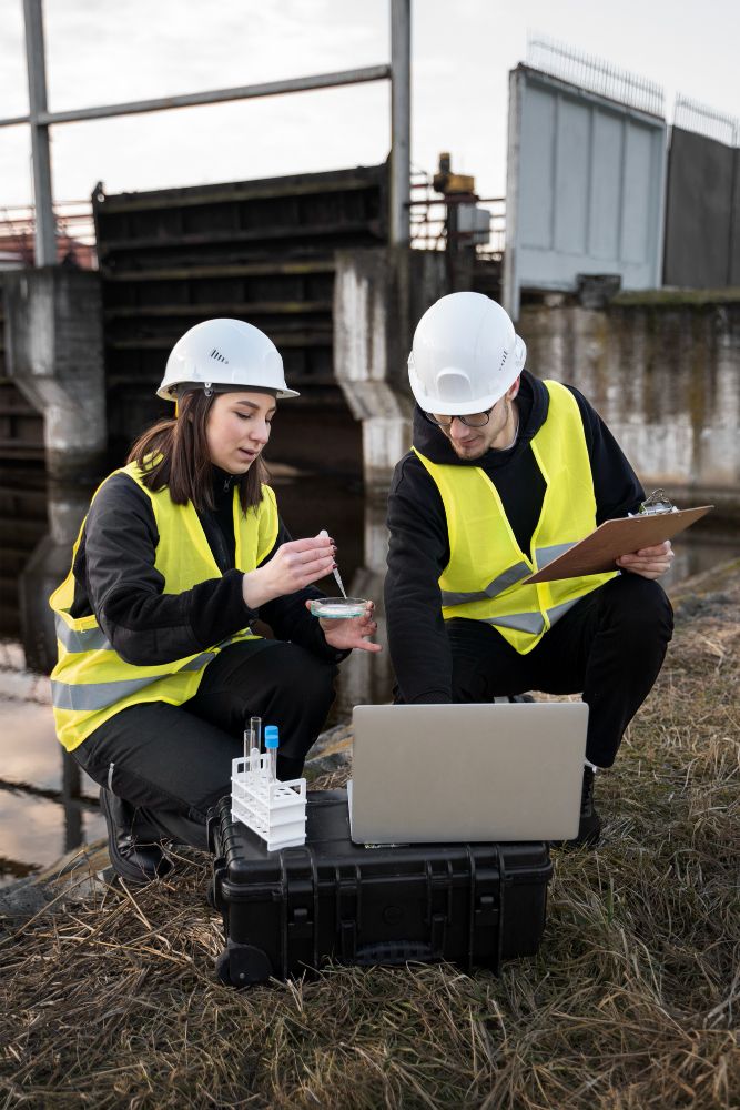
Whether recording positions for boreholes or soil samples or navigating back to sites you have worked on previously the GeoMax Zeinth06 or Zenith16 GNSS Network Rovers are the instruments of choice for most Geotechnical Engineers. With the capability to position to cm level accuracy in challenging environments and the user-friendly interface allows non-surveyors to position assets quickly and easily. These systems can also attach geo-referenced photography and add notes and descriptions to the positional data. With easy exports into AutoCAD, Excel and Google Earth along with cloud and email-based data sharing it’s never been easier to start recording your geotechnical information out in the field.